
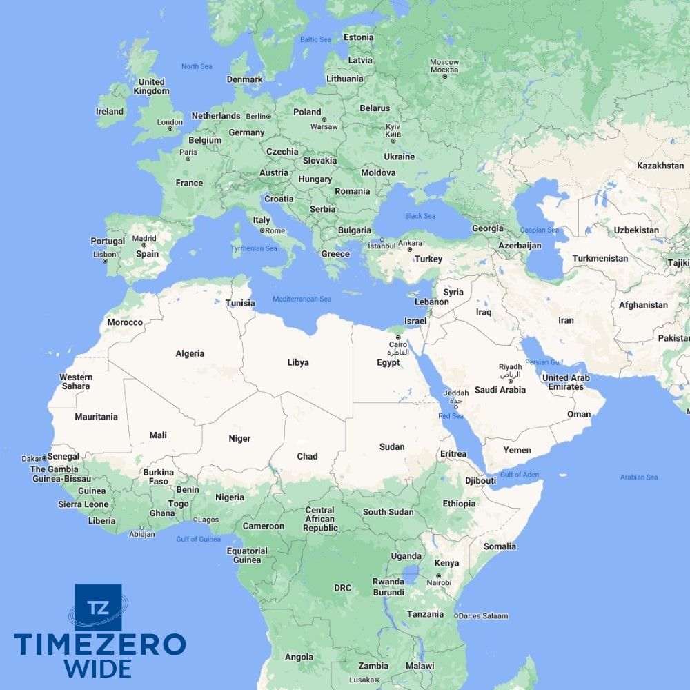
Furuno TimeZero Wide Area Charts
Please select the chart area from the dropdown and enter the System ID Code from the Master workstation below.
How to find your System ID Code:
Press MENU > INITIAL SETUP > Scroll to the bottom of the list and turn CHART MASTER to ON.
Just under CHART MASTER you see System ID Code
Note: If more than one unit is going to be in the system - only one unit should be set as CHART MASTER.

- Raster / Vector
- High Resolution Satellite Photos
- High Resolution Tidal Currents
- Heightfield Bathymetry Charts
- Sedimentary Charts
Altimetry
TIMEZERO and Furuno NavNet(3D & TZT) utilize MapMedia .mm3d altimetry to realistically represent the shoreline. The advantages are numerous such as the instantaneous identification of port entries or the identification of specific shoreline features. The use of altimetry also allows you to navigate in a realistic perspective view in relation to the horizon.
Satellite Photographs
TIMEZERO and Furuno NavNet(3D & TZT) utilizes satellite photographs in a new and exciting way, called PhotoFusion. This new technology allows fuses the Satellite Photographs with the Raster or Vector charts to provide, only the data you need for safe navigation, in an intuitive, realistic manner. Included with each .mm3d data pack is standard resolution satellite photographs. High definition satellite photographs are only available for certain areas. MapMedia continues to work together with data providers to expand and update the satellite photograph catalog.
Bathymetry
MapMedia .mm3d bathymetry is based on the graphic interpretation of chart contour lines. This 3D representation is very useful when entering a port or an anchorage, providing another navigation tool to keep you aware of submerged dangers.
The S-52 Vector Chart Standard
The S52 standard is published by the International Hydrographic Office (IHO). S-52 is an internationally adopted standard that regulates electronic vector chart display and iconography, to make it easy to view and understand. MapMedia .mm3d vector charts comply with this international standard.
Compatible products for this item are:
- TimeZero Navigator
- TimeZero Pro
- Furuno NavNet 3D
- Furuno NavNet TZT
- Furuno NavNet TZT2
- Furuno NavNet TZT3